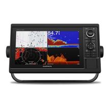
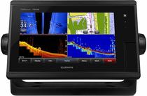
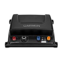
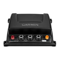
Sonar Garmin Gpsmap 1042XSV
Disponível desde 27 de Setembro de 2018
Última listagem em 22 de Dezembro de 2024
Compartilhar

código: #151
Por:
* Os preços e a disponibilidade estão
sujeitos a alterações sem aviso prévio.
Informar preço incorreto ou indisponibilidade
| INFORMAÇÕES BÁSICAS | |
|---|---|
| Marca | Garmin |
Physical dimensions
12.5" x 7.3" x 2.7" (318 x 185 x 69 mm)
Weight
4.1 lbs (1.85 kg)
Water rating
IPX7
Display type
WSVGA display
Display size
8.8" x 4.9" (224 x 125 mm)
Display resolution
1024 x 600 pixels
Power consumption
Max power usage at 10 Vdc: 32.4 W
Typical current draw at 12 Vdc: 1.9 A
Max current draw at 12 Vdc: 2.7 A
Antenna
Internal or external over NMEA 2000
Mounting options
Bail or flush
Receiver
10 Hz high-sensitivity
Garmin Marine Network™ ports
2
Maps & Memory
Accepts data cards
2 SD™ cards
Waypoints
5,000
Routes
100
Track log
50,000 points; 50 saved tracks
Preloaded maps
BlueChart® g2 (US and Western Canada coastal maps) and LakeVü HD (inland maps)
Outdoor Recreation Features
Tide tables
Chartplotter Features
Garmin Radar compatible
Garmin Sonar compatible
Yes (built-in)
Garmin SmartMode compatible (customizable monitor presets)
Supports AIS (tracks target ships position)
Supports DSC (displays position data from DSC-capable VHF radio)
Garmin Meteor™ Audio System compatible
Supports FUSION-Link™ compatible radios
GSD™ Black Box sonar support
GCV™ Black Box sonar support
ActiveCaptain compatible
Garmin Helm compatible
GRID™ (Garmin Remote Input Device) compatible
Wireless remote compatible
Sonar Features & Specifications
Dual-frequency (50/200 kHz) sonar capable
Dual-beam (77/200 kHz) sonar capable
Transmit power
1 kW traditional; 1 kW single channel CHIRP
CHIRP sonar technology
Yes (Built-in)
ClearVü
Yes with CHIRP (built-in)
SideVü
Yes with CHIRP (built-in)
Maximum depth
5,000 ft at 1kW (depth capacity is dependent on water bottom type and other water conditions)
Bottom lock (shows return from the bottom up)
Water temperature log and graph
Sonar recording
Sonar history rewind


